Officials Install Flood Barriers and Urge Residents To Prepare
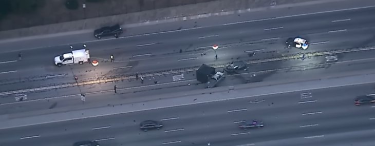
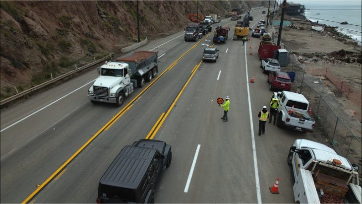
As a storm system approaches California this week, Los Angeles County officials are installing k-rails, sandbags, and flood control infrastructure in recent fire burn areas to mitigate the risk of debris flows. The National Weather Service estimates a 10-20% chance of mudslides in burn scar zones due to expected rainfall.
The latest forecast from the National Weather Service of Los Angeles is that rain will spread between late tonight up north and Tuesday night across the Southland. Here are the expected rainfall totals. The highest amounts are expected across northwest San Louis Obispo County. The chance for flash flooding and mud and debris flows is still low but not impossible.
On Sunday, officials from LA County and the National Weather Service visited the Palisades Fire burn area to assess preparations and urged residents to take safety precautions, such as securing sandbags and avoiding burn areas. Residents can request sandbags through the LA County Public Works 24-hour hotline at 1-800-675-HELP (4357).
You can watch the LA County Press Conference on preparations for the storm here:
At the direction of Gov. Gavin Newsom, state agencies have been working around the clock to install nearly 60 miles of emergency protective materials in burn scar zones across Los Angeles County. The California Governor’s Office of Emergency Services (Cal OES), along with CAL FIRE, the California Conservation Corps, Caltrans, and the Department of Conservation, have implemented watershed and debris flow mitigation efforts to protect communities.
“Our top priority is to protect people and the environment from the cascading effects of wildfire damage,” Newsom said in a statement. “Through coordinated efforts, we are reducing the risk of debris flows and maintaining the integrity of our natural resources.”
To date, mitigation efforts have covered nearly 5,800 properties, with over 316,000 feet—nearly 60 miles—of protective barriers installed. Measures taken in key fire zones include:
- Palisades Fire Area: 7,350 feet of straw wattle, 157,675 feet of compost sock, and 6,500 feet of silt fencing.
- Eaton Fire Area: 8,275 feet of straw wattle and 130,350 feet of compost sock.
- Statewide Deployments: 6,200 feet of k-rail concrete barriers prepositioned for potential mud or debris flows.
The National Weather Service forecasts widespread rain, with gusty southerly winds from Tuesday through early Friday. While moderate rainfall is expected, there is a possibility of heavier downpours that could trigger debris flows in burn areas.
Wildfire burn scars make landscapes more vulnerable to erosion, flooding, and contamination of water sources. Officials warn that debris flows can damage infrastructure and threaten human and wildlife safety.
Residents in at-risk areas are urged to stay informed and follow guidance from emergency officials. For wildfire-related resources, visit CA.gov/LAfires. For general storm preparedness tips, visit ready.ca.gov.